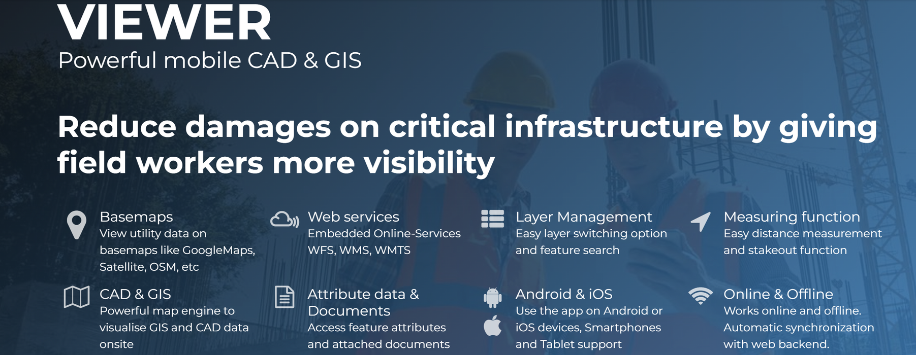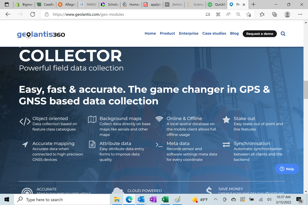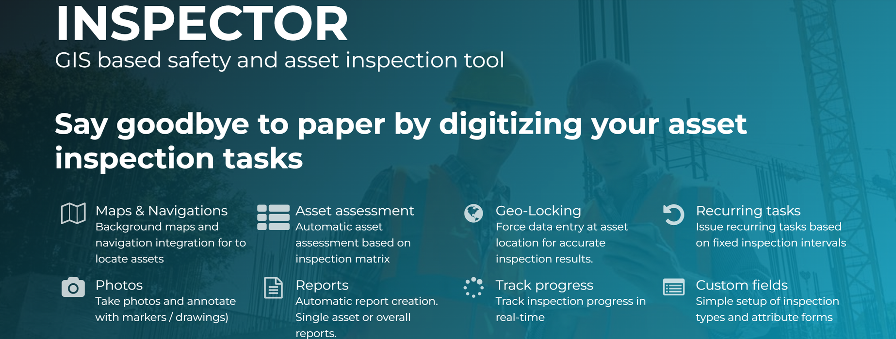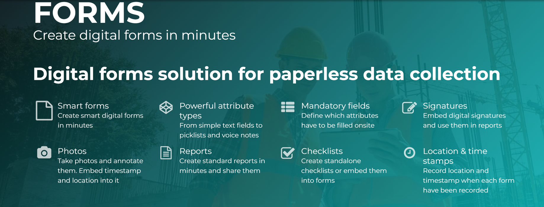
Geolantis.360TM is a leading geospatial solution to capture and pinpoint the exact location of critical infrastructure including subsurface utilities like cables and pipes.
The power of the cloud: Geolantis.360TM is a SaaS solution that encompasses all mapping & map viewing and navigation capabilities while hiding the complexity of surveying, CAD and GIS.
As a consequence, you´ll reduce data collection time and field operation costs.
Geolantis.360TM is a scalable solution which helps companies of all sizes – ranging from small operators to large enterprises.
Pricing is for a 1-year Subscription. Subscriptions are renewable.
|
|
PRO |
BUSINESS |
ENTERPRISE |
|
|
|
|
PC Involvement |
|
Users |
Max.25 |
Max. 50 |
Unlimited |
|
Projects |
Max 5 |
Unlimited |
Unlimited |
|
Feature storage |
10,000 |
100,000 |
500,000 |
|
Media storage |
5GB |
10GB |
25GB |
|
|
|
|
|
|
COLLECTOR |
* |
* |
* |
|
|
|
|
|
|
INSPECTOR |
* |
* |
* |
|
|
|
|
|
|
FORMS |
* |
* |
* |
|
|
|
|
|
|
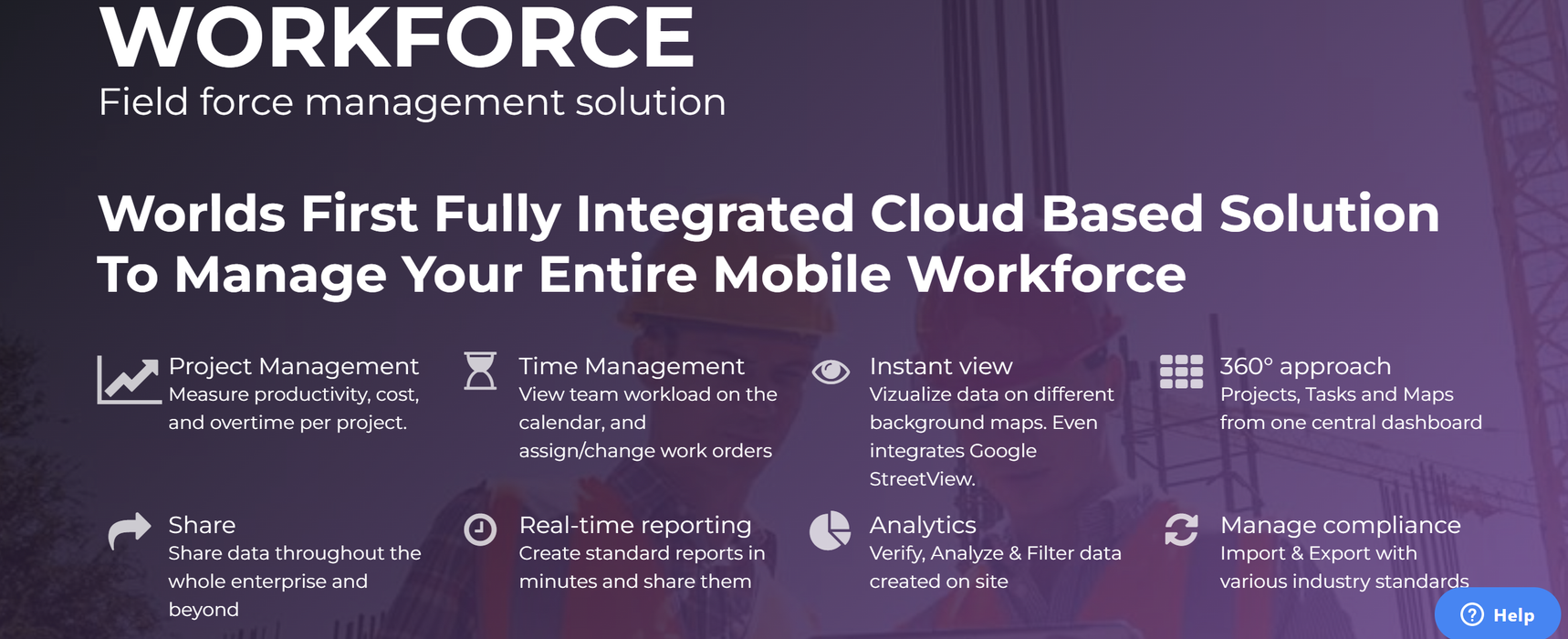
WORKFORCE |
|
* |
* |
|
|
|
|
|
|
REPORTS |
Basic Reports for $20 per month |
* |
* |

