Save Liquid error (snippets/product-badge line 32): Computation results in '-Infinity'%
$23,400.00
| /
SKU
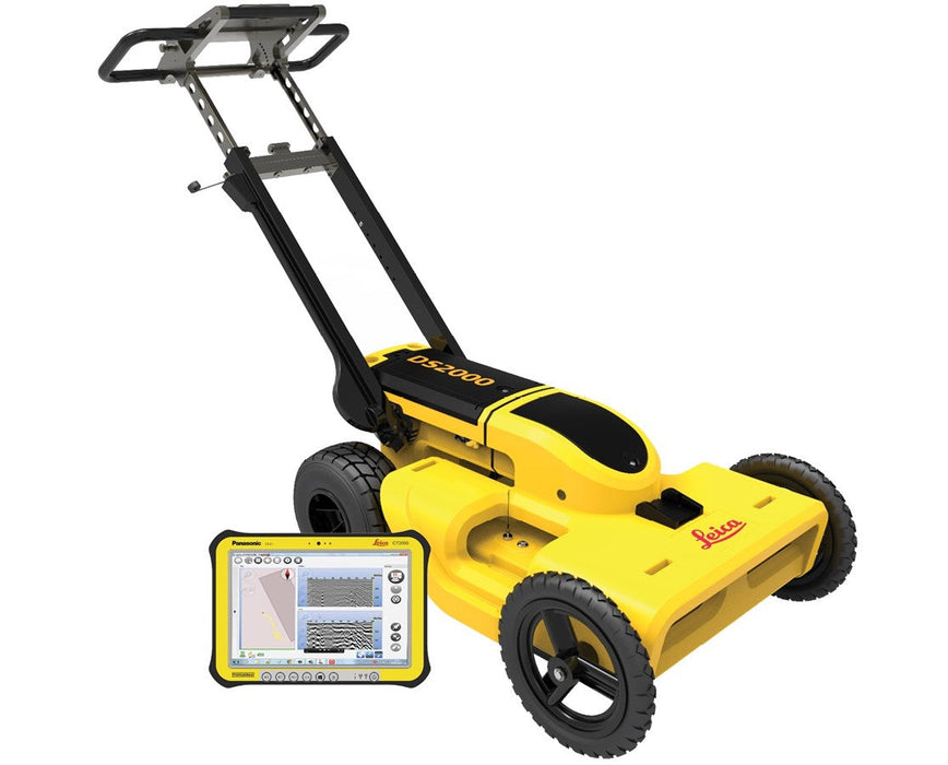
An integrated dual-frequency GPR system that collects data with both a 250 MHz and 700 MHz simultaneously.
For used and refurbished options, call 1 (770) 674-2489.
Product Overview
Technical Specifications
Resources
Videos
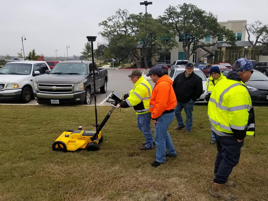
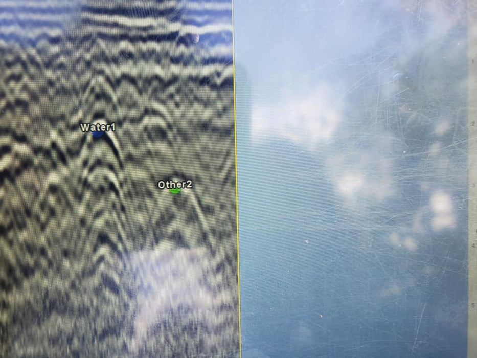
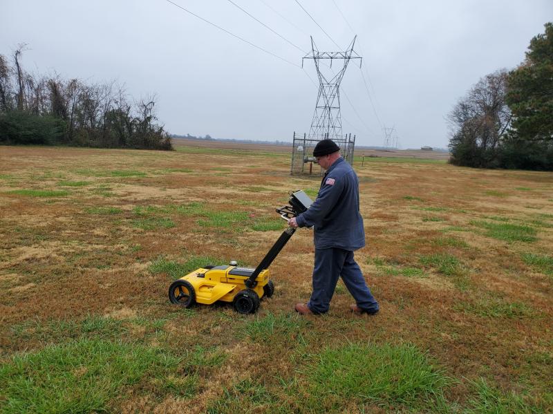
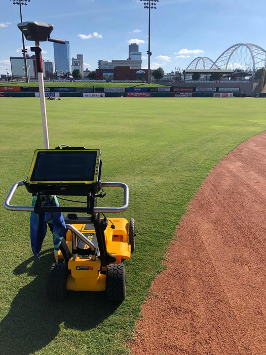
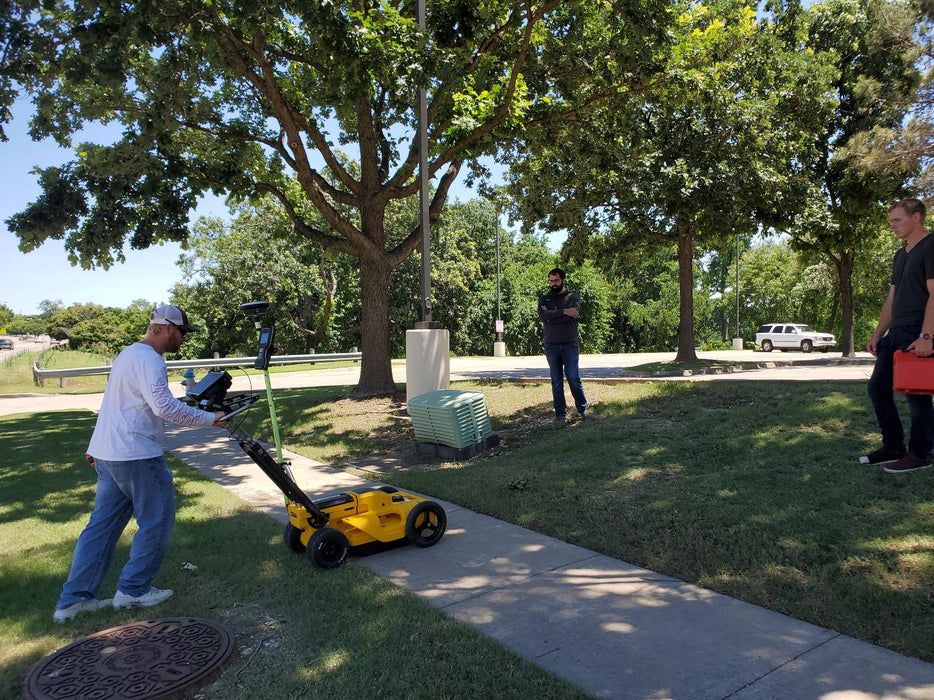
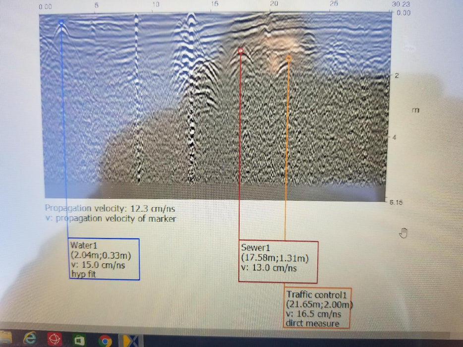
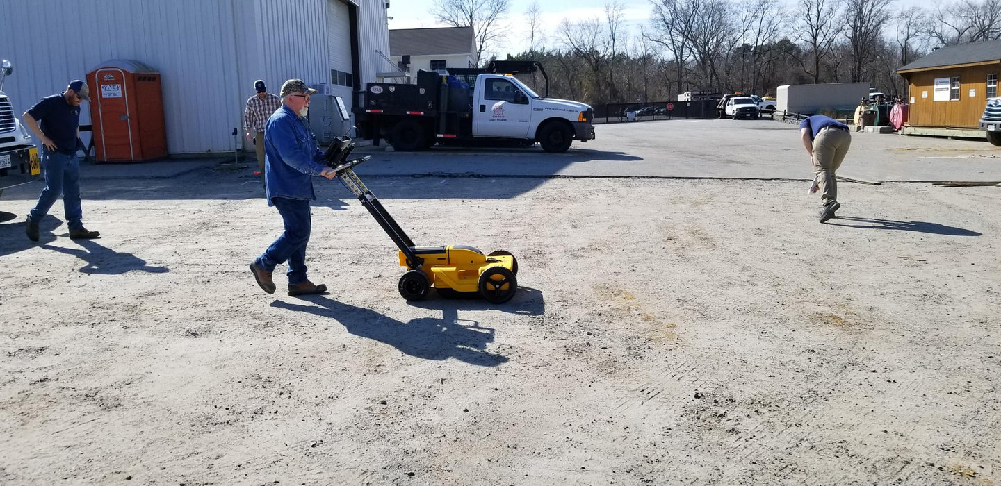
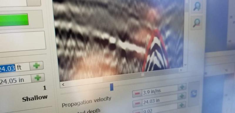
This system is user friendly and easily integrates with GPS. The DS2000 has the feature to estimate depths of pipes and an easy set of interpretation tools which can simply export georeferenced interpretations in CAD, ESRI, and Google Earth formats. The dual frequency set up allows the user to quickly assess and mark out an area in half the time while getting the benefits of a high frequency antenna allowing high resolution and a low frequency antenna allowing for deep investigation. The efficiency of this system reduces time in the field on any project.
General Weight 52.9 lbs (24 Kg) Protection IP65 ("dust tight" and protected against heavy seas or powerful jets of water) Power Consumption/Supply 13.3 W / Rechargeable SLAB (Sealed Lead Acid Battery) 12 V DC, 12 Ah Operating Temperature Range –10° C to +40° C Frequency Antenna Antenna Footprint 15.7 x 19.6 inches (40 x 50 cm) Hardware Channels 2 Antenna Central Frequencies 250 MHz; 700MHz Antenna Orientation Perpendicular, broadside Sampling Frequency 400 kHz Data Acquisition Acquisition Speed More than 10 km/h Scan Rate per Channel 381 scans per second Scan Interval 42 scan per meter Positioning 2 integrated encoders - GPS and/or TPS