Utility Locating & Mapping
Fewer Missed Pipes
Multiple sensors and integrated software to reduce "oops" events to nearly zero.
Reduce Liability
Greatly reduce utility strikes and damages that result from undetected utilities.
Stay on Schedule
Fewer accidents during construction means smoother, more predictable operations.
Permanent Maps
Archive utility and subsurface asset locations in highly detailed maps for future use.

Find More Pipes Than Ever Before
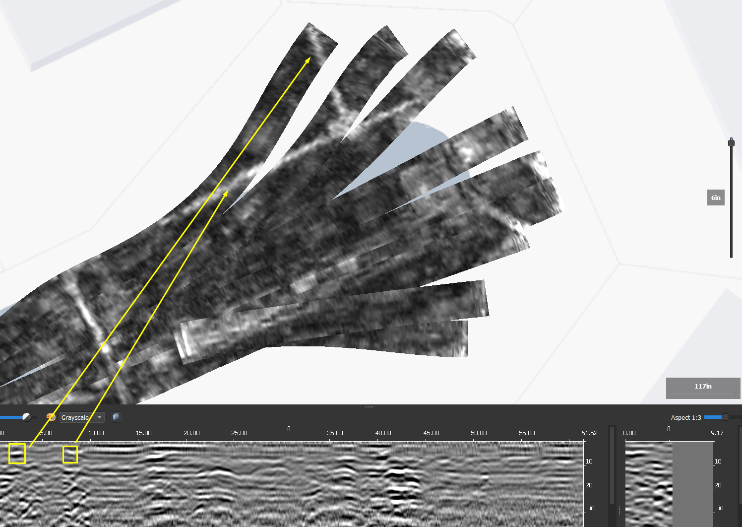
Full digital mapping of subsurface utilities presented in BIM, CAD, and GIS formats. We accomplish this by utilizing the full suite of technical equipment including EM locators, magnetic locators, ground penetrating radar, MCGPR, GNSS, and other geophysical technologies.
Bigman Geophysical team consists of the most highly trained and specialized operatives in the industry to generate the highest possible level of quality, often at large and complex projects such as industrial facilities, power plants, and airports.
Types of Deliverables
-Paint marks on the ground surface
-Full summary reports
-2D and 3D digital maps
-AutoCAD and BIM exports
-GIS compatible exports
-Shareable, Interactive 3D models


Case Study - Trinity Christian School Utility Mapping
1000+
Collaborations
25+
US States
16
Countries
9+
Years


