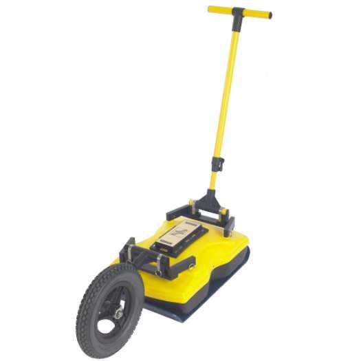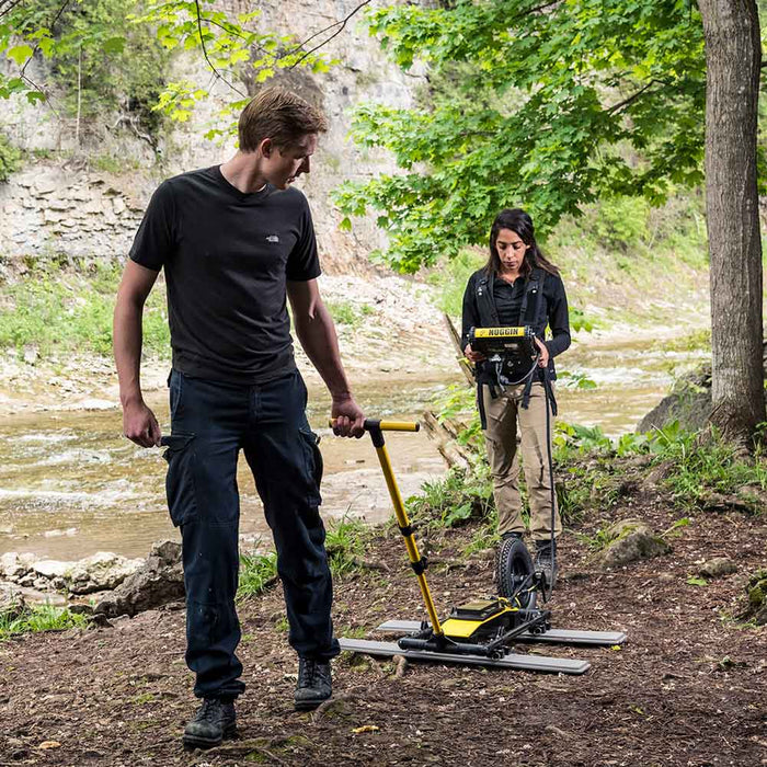
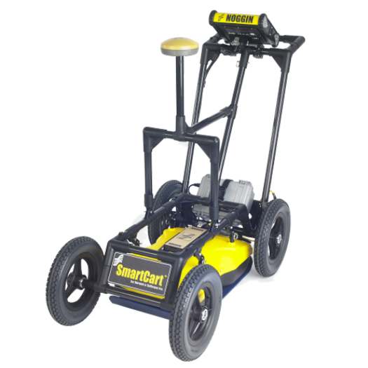
This GPR system offers a user friendly experience with the right mix of ease of use and functionality. The various antenna options can be applied to geotechnical investigations, stratigraphic mapping, void/sinkhole detection, utility locating, archaeology, forensics, environmental investigation, soil contamination mapping, and road/bridge assessments.
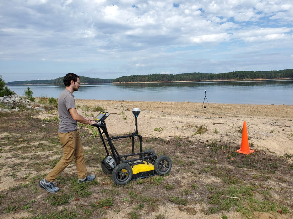
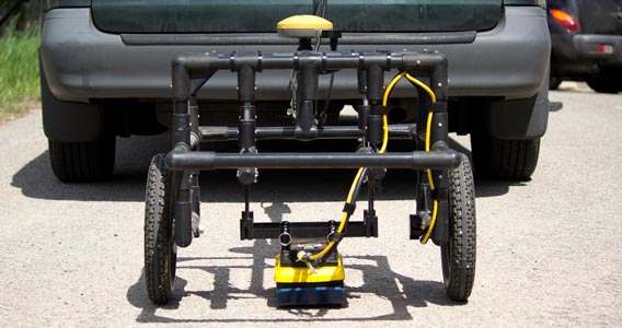
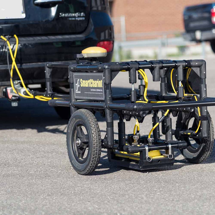
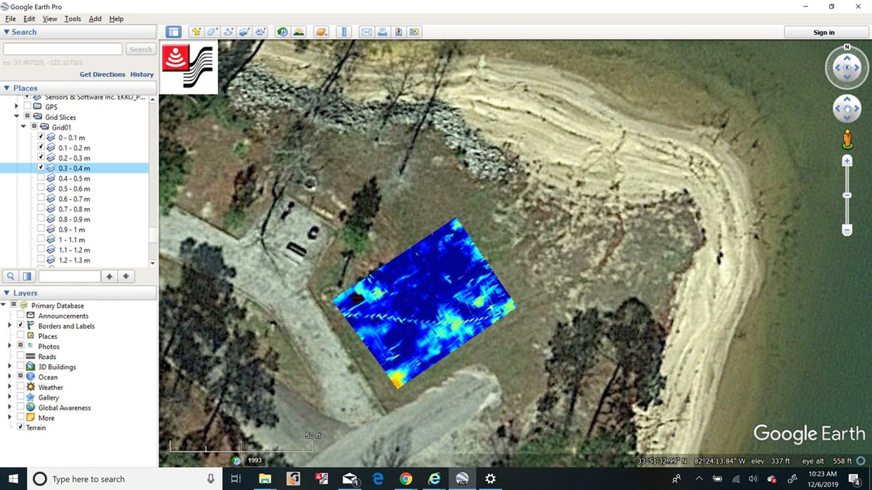
The operator has the choice of basic line scans, grid scans, or GPS integration. Grid scans can produce high quality time-slices on site in real time.
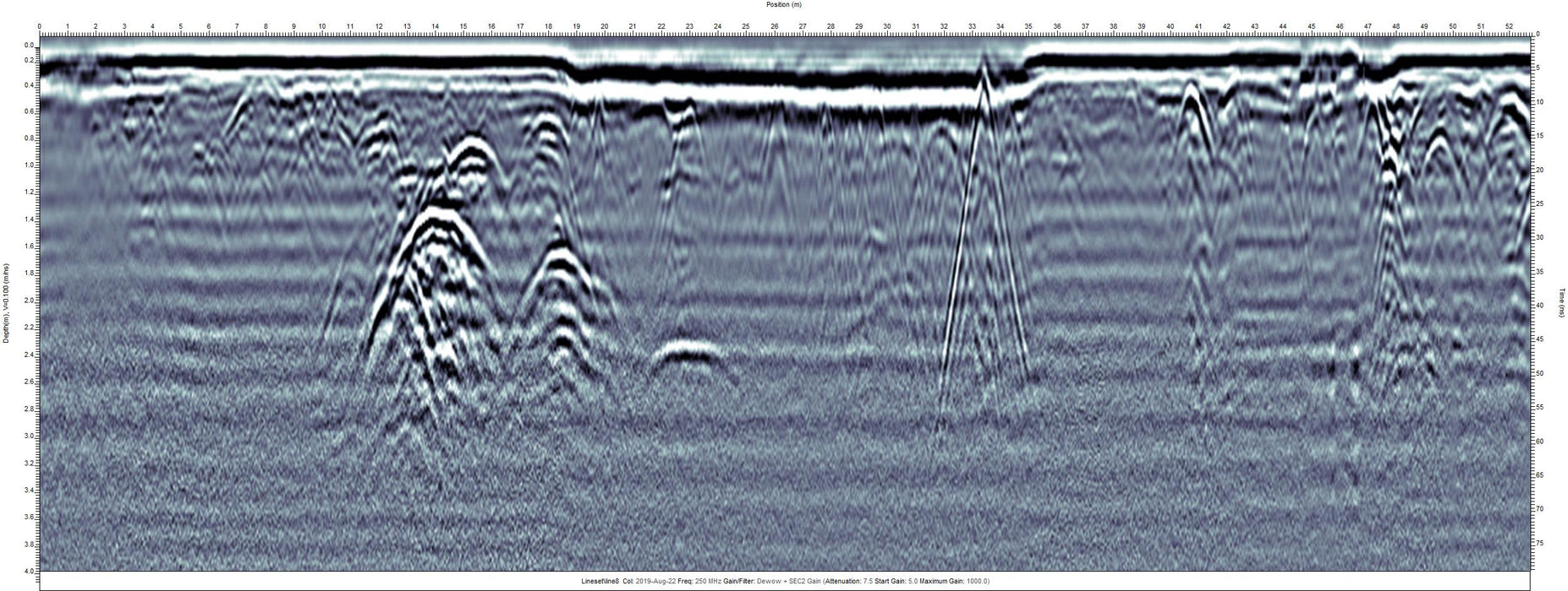
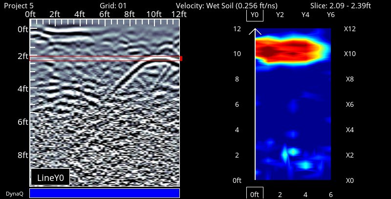
Easily apply filters, gains and depth conversions without damaging raw files. Automatically migrates data when generating time slices for clear visualizations. Screen shot and basic reporting available with the click of a button. GPS and grid data seamlessly integrate with Google Earth for high quality deliverable preparation.
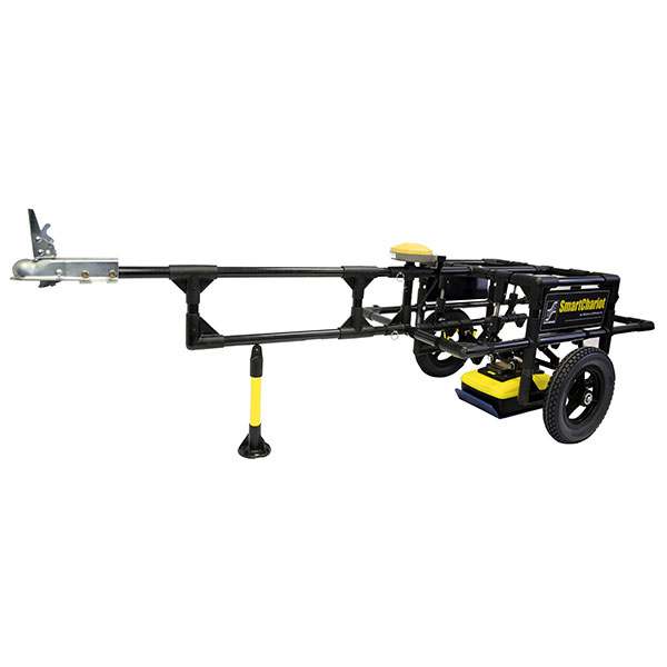
Integrates with the Emlid Reach RTK GPS series distributed by Bigman Geophysical LLC for centimeter precision accuracy when conditions allow.
| Noggin 100 | Noggin 250 | Noggin 500 | Noggin 1000 | |
|---|---|---|---|---|
| Size | (36 x 30 x 6.5 in) | (25 x 16 x 9 in) | (15 x 9 x 6 in) | (12 x 6 x 4.5 in) |
| Weight | 9.5 kg (21 lbs) | 7.3 kg (12.5lbs) | 3 kg (6.5 lbs) | 2.3 kg (5 lbs) |
| Center Frequency - 3dB Bandwidth |
100 MHz 50 - 150 MHz |
250 MHz 125 - 375 MHz |
500 MHz 250 - 750 MHz |
1000 MHz 500 - 1500 MHz |
| Shielding Front to Back | ground coupled focusing | >20dB | >20dB | >20dB |
| Maximum Time Window | 4,000 ns @ 0.8 ns/pt | 2,000 ns @ 0.4 ns/pt | 1,000 ns @ 0.2 ns/pt | 500 ns @ 0.1 ns/pt |
| Maximum Depth Setting | 200 m (656 ft) | 100 m (328 ft) | 50m (164 ft) | 25m (82 ft) |
Links