


Training & Certification
We offer a wide variety of ways to learn, from web-based classes to hands-on practical workshops.
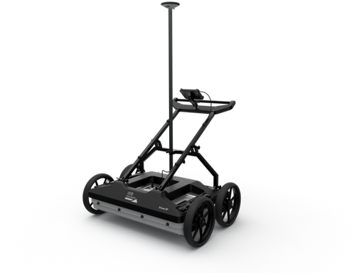
Stream DP is the revolutionary multichannel GPR array solution for real-time 3D mapping of underground utilities and features that overturns the ...
View full details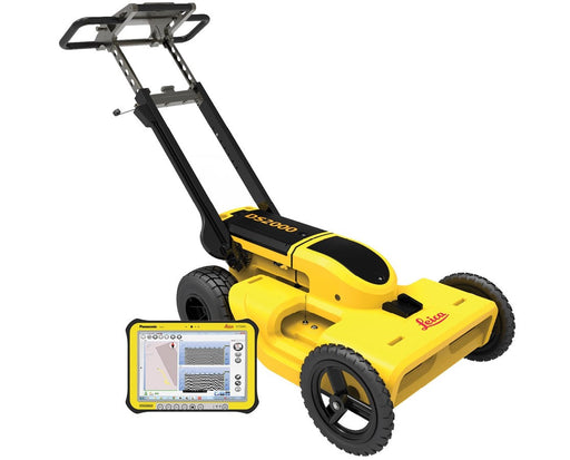
An integrated dual-frequency GPR system that collects data with both a 250 MHz and 700 MHz simultaneously. For used and refurbished options, cal...
View full details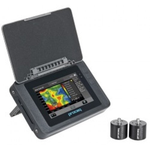
A best-in-class UPV test instrument with an extended range of measurement modes. Rugged touchscreen with intuitive user interface for best possi...
View full details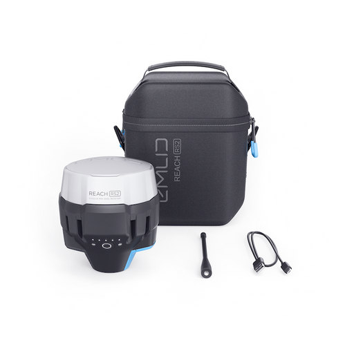
Two Reach RS2 receivers are required for surveying in RTK and PPK modes For used and refurbished options, call 1 (770) 674-2489. Product Overvi...
View full details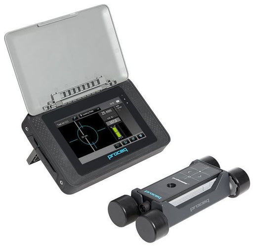
Fast and accurate rebar detection, cover and diameter size measurement For used and refurbished options, call 1 (770) 674-2489. Product Overvie...
View full details


Ground Penetrating Radar (GPR) is a non-invasive geophysical method that uses radar pulses to image the subsurface. It is a valuable tool in various industries, including construction, archaeology, and environmental studies. Ground Penetrating Radar is used in a wide range of applications, including locating underground utilities, mapping geological features, and identifying archaeological sites.

This free webinar will help you understand the basics of GPR, show many examples of data from concrete scanning and inspection projects, show benefits and drawbacks of GPR, and finally review other complimentary technology.

In this webinar we review the basics of GPR data processing in real time while processing information collected to image a buried septic tank. We discuss the basic steps, filters, and parameters that can be used on both 2D and 3D data processing.

In this replay of our popular webcast for World Trenchless Day, we will review the basics of Ground Penetrating Radar, compare GPR to other locating equipment such as traditional pipe and cable locators, review a few data examples of utility locates for GPR, and answer questions from the audience.