Archaeological Prospection
Non-invasive Imaging of Cultural Heritage Sites
Expert Analysis
Interpretations and modeling by specialists in high-tech toolsets and the latest software
Faster Results
Results in days, not months, with full computer modeling and referenced summary reports.
More Features Made Visible
Better resolution of target features through more advanced technologies, and greater variety of sensor types
Diverse Export Options
Pull information into the software platforms you already have to avoid learning curves and costly subscriptions

Use the Right Tools
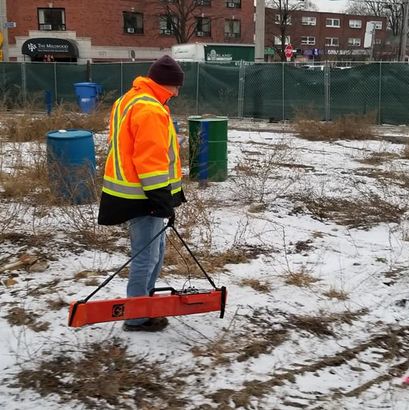
Non-destructive imaging for archaeological targets can be uniquely challenging, especially for sites composed of organic features such as wood and earth. Our team has the technology and experience to detect and model those features in detail, and provide meaningful analysis.
Investigations range from individual features to broad area scans targeting whole settlements. Ground-penetrating radar, magnetic gradiometry, electrical resistivity, and magnetic susceptibility are popular modalities for finding and investigating archaeological targets with completely non-invasive technology.
Geophysics for Archaeology
-Ground Penetrating Radar
-Magnetic Gradiometry
-Electrical Resistivity
-Electromagnetic Conductivity
-Magnetic Susceptibility
-LiDAR and Laser Mapping
-Thermal Imaging
-Positioning
-Database Development
-Soil Testing
-Human Remains Detection Dogs


Case Study - Historic Mercer Campus
500+
Collaborations
20+
US States
16
Countries
7+
Years


